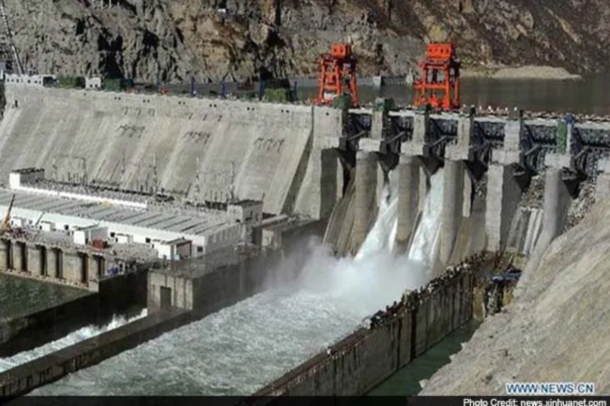
China has now build a new 6000 megawatt dam on a tributary of the holy river Ganga in Tibet. The dam is near to the part where Tibet shares try-junctions of its borders with India and Nepal. This could lead China to control the flow of water downstream, as per a new satellite imagery.
The development comes amid China’s announcement of plans to construct a “super” dam near the Line of Actual Control (LAC) in Tibet on the lower reaches of the Yarlung Zangbo river. The river flows into Arunachal Pradesh as the Siang and then into Assam as the Brahmaputra.
China’s dam to affect Assam and Arunachal Pradesh
India has showed concern over China’s action as it will directly affect the country. Not only can China control the water flow, but by stopping the flow of water from this dam, a flood-like situation can be created in India. According to sources, China’s dam could cause a water shortage or a flood-like situation in Arunachal Pradesh and Assam.
Satellite imagery shows China ramping military and dual use infrastructure near LAC
The satellite imagery has also shown that China has also amped up military and dual use infrastructure and villages in the eastern and western sectors of the LAC.
The image, tweeted on Thursday, by Damien Symon, a geospatial intelligence researcher at the Intel Lab, showed that since May 2021, the Chinese side has been engaged in earth development and dam construction on the Mabja Zangbo river in Burang county, Tibet.
Also Read: Australian Open: Ons Jabeur crashes out after Marketa Vondrousova produced stunner
Keep watching our YouTube Channel ‘DNP INDIA’. Also, please subscribe and follow us on FACEBOOK, INSTAGRAM, and TWITT


