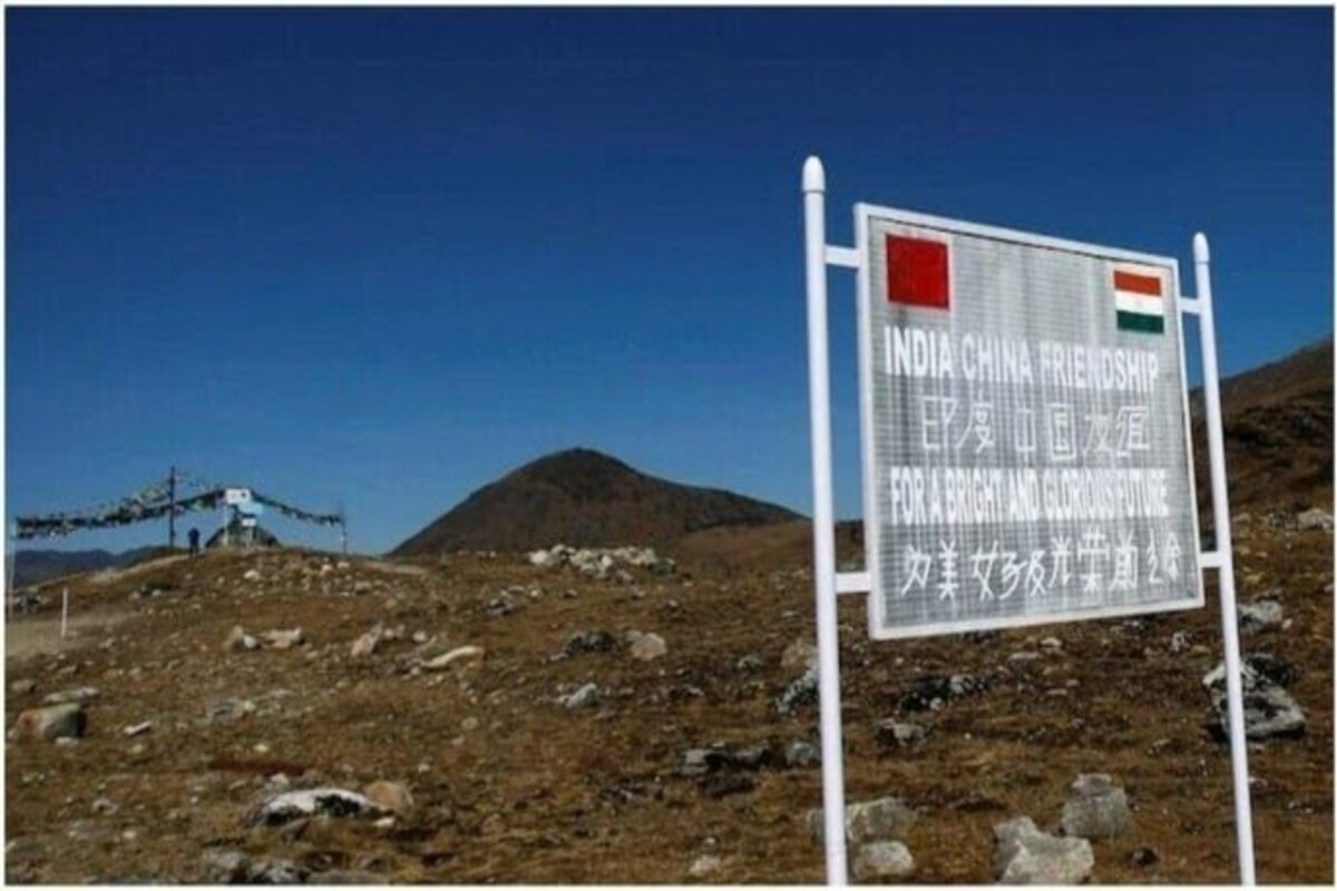
China Controversial Map: The whole state of Arunachal Pradesh and the Aksai Chin region continue to be shown as that belong to China in the 2023 version of the Chinese government’s official map, which was published on August 28.
According to The Hindu, the map from 2023 also shows China’s territorial claims throughout its western frontiers, including the infamous “nine-dash line” that encircles the entire South China Sea.
Previous editions included a similar illustration.
The image was produced by the nation’s Ministry of Natural Resources, and according to the newspaper, “a “tenth dash” is placed east of Taiwan, underlining Beijing’s claims over the island, as in previous maps.”
Wu Wenzhong, the ministry’s chief planner, was quoted as saying that “surveying, mapping, and geographic information play an important role in boosting the development of the nation” by the Chinese government-owned English news outlet ChinaDaily.
After the Chinese map was made public on Monday night, the Ministry of External Affairs (MEA) released a statement on Tuesday night in which it claimed that the Chinese had received a “strong protest” and that such actions “complicate” the resolution of the wider boundary dispute.
“We have today lodged a strong protest through diplomatic channels with the Chinese side on the so-called 2023 ‘standard map’ of China that lays claim to India’s territory,” said Arindam Bagchi. He added, “We reject these claims as they have no basis.”
He stated, “Such steps by the Chinese side only complicate the resolution of the boundary question,” in reference to the inclusion of Aksai Chin and Arunachal Pradesh under the boundaries of China.
Also Read: TCS onboards 44,000 freshers in FY23, honors all job offers
Keep watching our YouTube Channel ‘DNP INDIA’. Also, please subscribe and follow us on FACEBOOK


