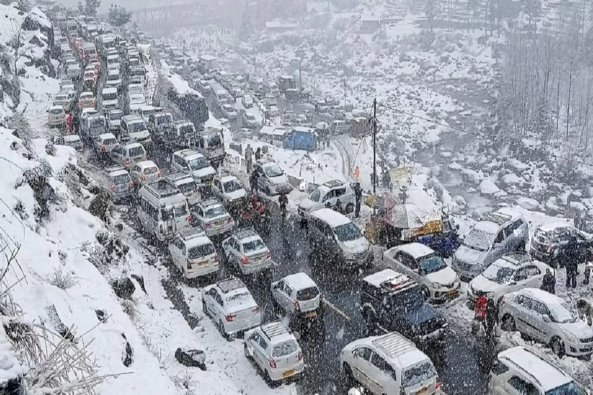
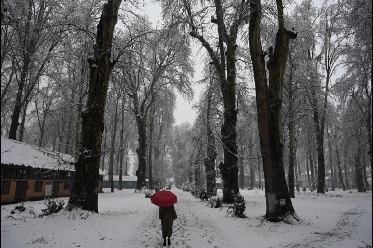
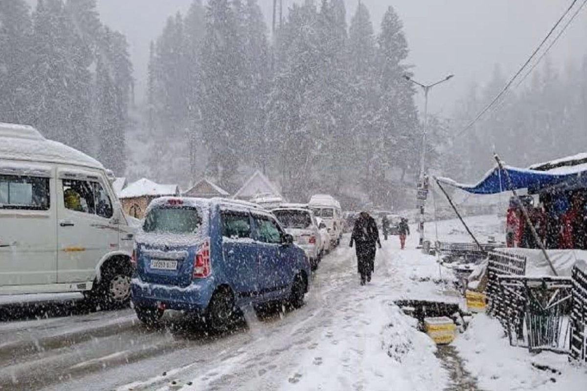
Snowfall Update: The northern regions of India will commence February with renewed precipitation, following above-average precipitation throughout January 2023. The India Meteorological Department (IMD) predicts isolated to scattered, light rainfall and snowfall over Jammu-Kashmir and Ladakh from Thursday to Sunday (Feb 2-5) and Himachal Pradesh on Thursday only (Feb 2).
What will happen once Western disturbance come?
This is due to a new western disturbance, which will begin affecting the Western Himalayan Region from today. These western disturbances are low-pressure systems that originate in the Mediterranean Sea, pick up moisture as they move westward and release it over North India. The western disturbance will bring with it changing weather patterns, causing fluctuating temperatures and the possibility of strong winds and heavy snowfall in some areas.
It is important for residents of these regions to be prepared for these sudden changes in weather and take necessary precautions, especially if they plan on traveling during this time.
Despite the country recording below-average precipitation last month, the northernmost regions in India experienced normal to above-normal levels of rain and snow. Between January 1-31, Jammu-Kashmir and Ladakh received 135.1 mm of precipitation, which is a 42% increase compared to their average of 95.1 mm. Meanwhile, Himachal Pradesh received “normal” levels of rain and snow, with 86.2 mm recorded, only 1% above its average of 85.3 mm.
Rise in temperature expected
In the coming days, a new weather system is expected to bring changes to the temperature levels in the northwestern plains, leading to a rise in minimum temperatures by 2-3°C in many parts of northwest India after Thursday, Feb 3. Despite the light intensity of the precipitation, no weather warnings have been issued in the northern regions so far.
Keep watching our YouTube Channel ‘DNP INDIA’. Also, please subscribe and follow us on FACEBOOK, INSTAGRAM, and TWITTER


