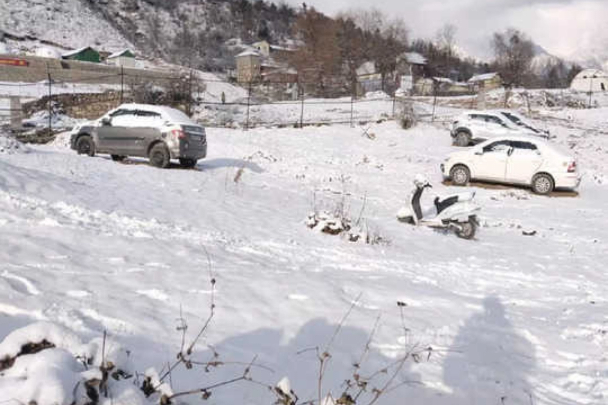
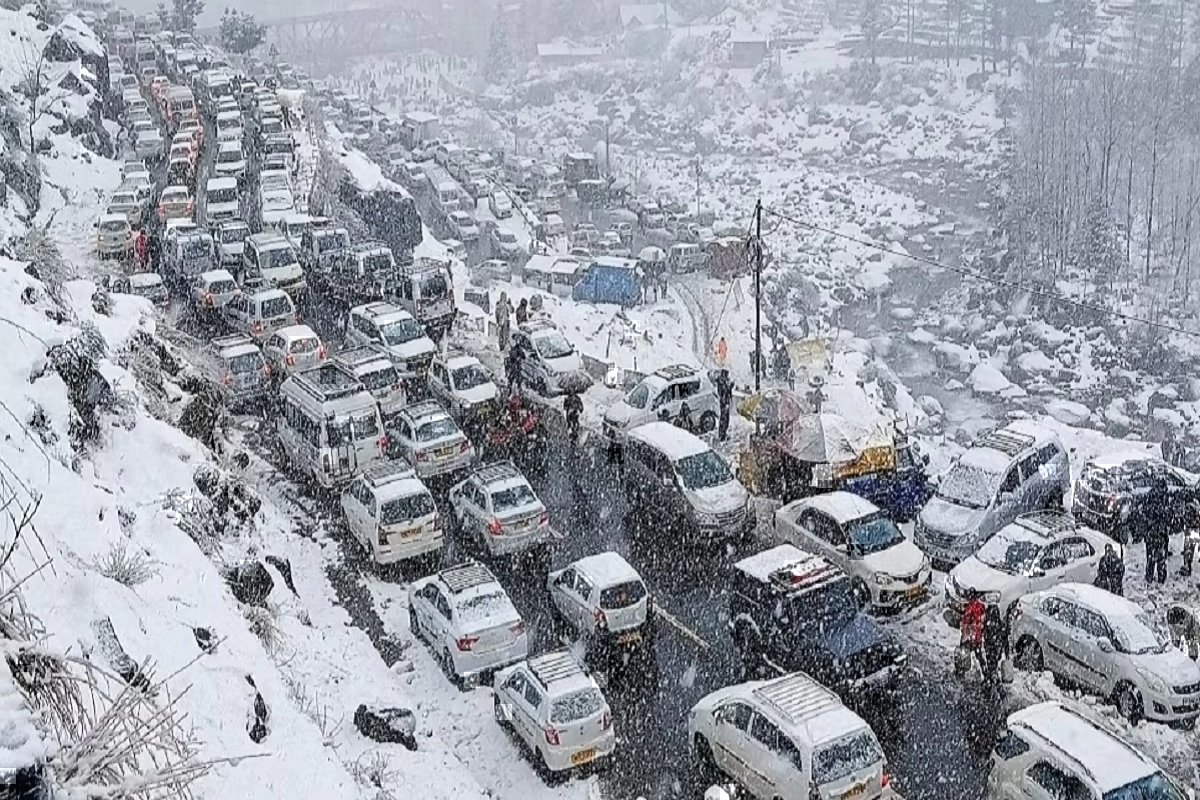
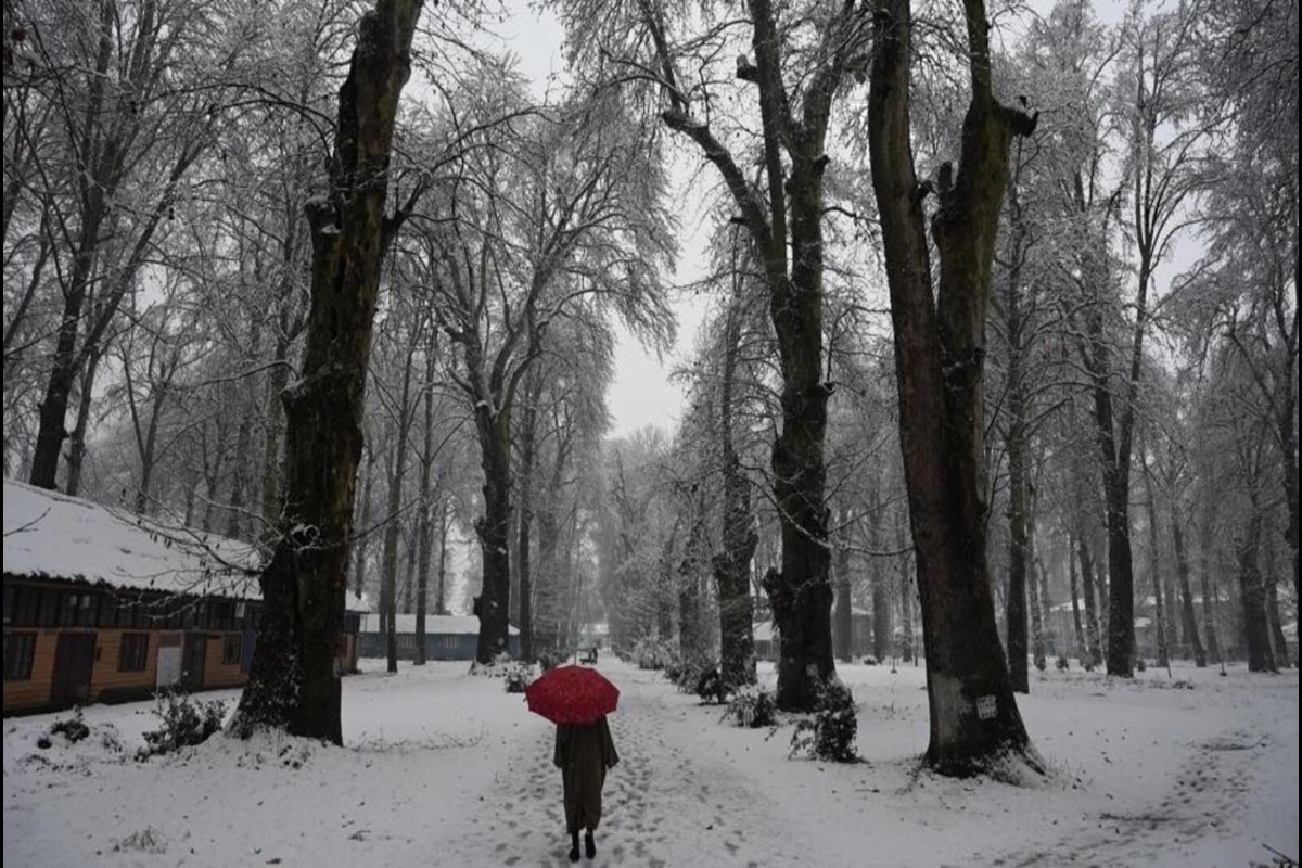
Snowfall Update: Across the past 24 hours, a substantial amount of rain and snowfall exertion has been observed over the hills of north India due to the current western disturbance. Furthermore, some snowfall activity was seen in Kashmir, particularly Gulmarg, Pahalgam, and Srinagar. In fact, the continued snow caused the highest temperature in Gulmarg to plunge below 0 degrees Celsius.
What is the latest update on snowfall?
Along with this, Himachal Pradesh was not far behind, with rain and snow also being experienced in Lahaul-Spiti, the Malana Valley in Kullu, and Narkanda & Mandhol in the Shimla district. Additionally, certain areas of Uttarakhand had snowfall, although it was the state’s higher elevations—including Badrinath, Kedarnath, and Hemkund Sahib—that experienced snowfall.
Rainfall was seen in the lower levels. The forecast for today is for rain and snow, while the forecast for tomorrow calls for a dramatic decrease. The system’s remnant might cause isolated activity to be visible tomorrow. After that, there will be a total clearing, and a cold front brought on by the system’s passage will rush through the highlands of North India.
When will the weather change?
This scenario will last until January 17. On January 18, a brand-new western disturbance is anticipated, and another system might develop after that. Earlier, IMD had predicted that until January 14, there would likely be extensive rain or snowfall across the western Himalayan area as a result of a western disturbance as a trough in westerly winds in the middle troposphere.
Keep watching our YouTube Channel ‘DNP INDIA’. Also, please subscribe and follow us on FACEBOOK, INSTAGRAM, and TWITTER


