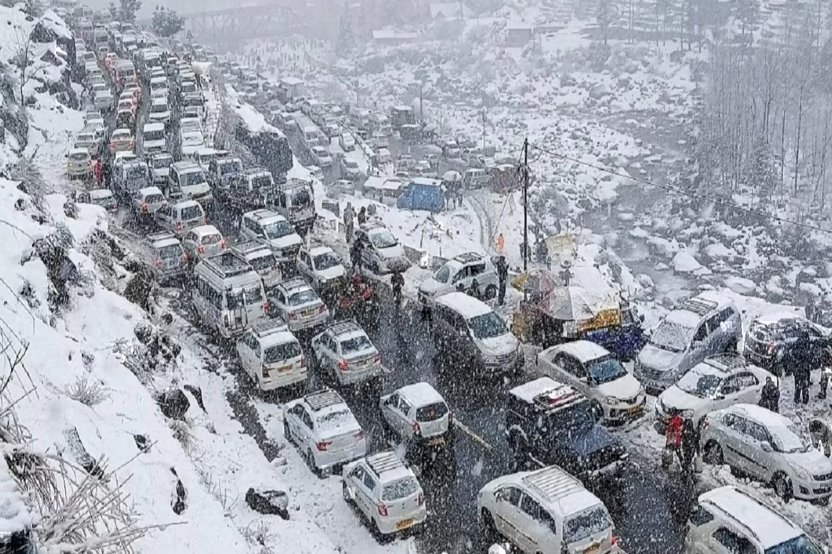
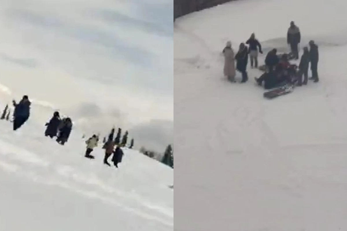
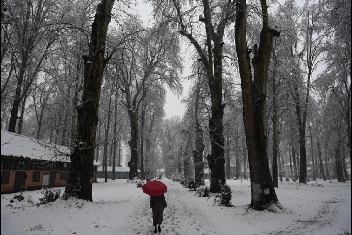
Snowfall Update: One of the earliest active disturbances of the season, the current Western Disturbance has brought North India’s plains and hills significant amounts of rain and snow as well as some showers. More weather instability is still expected from the region today and tomorrow until it clears away on January 14. Read below the snowfall update.
Which regions are getting snowfall?
Rainfall totals for the past 24 hours starting at 8:30 am yesterday include 19 mm in Gulmarg, 10 mm in Qazigund, 17 mm in Manali, 3 mm in Dharamsala, 2 mm in Bhuntar, 1 mm in Pantnagar, 0.5 mm in Ambala, and 0.4 mm in Chandigarh, with traces of precipitation over Pathankot and nearby areas of Punjab. This has ended the dry period that has been affecting the plains for several days.
Additionally, snowfall was seen over the neighbouring regions of Drass, Gulmarg, Pahalgam, Kupwara, and Bhaderwah. In reality, a landslide over the upper reaches was recorded, leading to the closure of Mughal Road and the Srinagar-Leh route.
Western Disturbance effect in plains
Currently, the Western Disturbance is crossing the Western Himalayas, and its induced circulation is over Northwest Rajasthan and surrounding regions. As a result, we may anticipate rain and snow in North India’s upper and middle hills as well as rain in other locations at least through tomorrow. Following that, we may anticipate removal around January 14, when leftovers may begin to move over the hills, and final clearance by January 15.
Speaking of the plains, certain areas of Punjab and Haryana may see rain today and tomorrow. Along with this, Delhi is also predicted to have light rain today.
Keep watching our YouTube Channel ‘DNP INDIA’. Also, please subscribe and follow us on FACEBOOK, INSTAGRAM, and TWITTER


