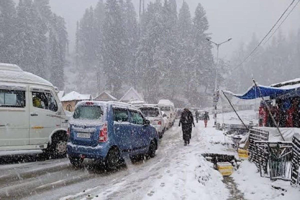
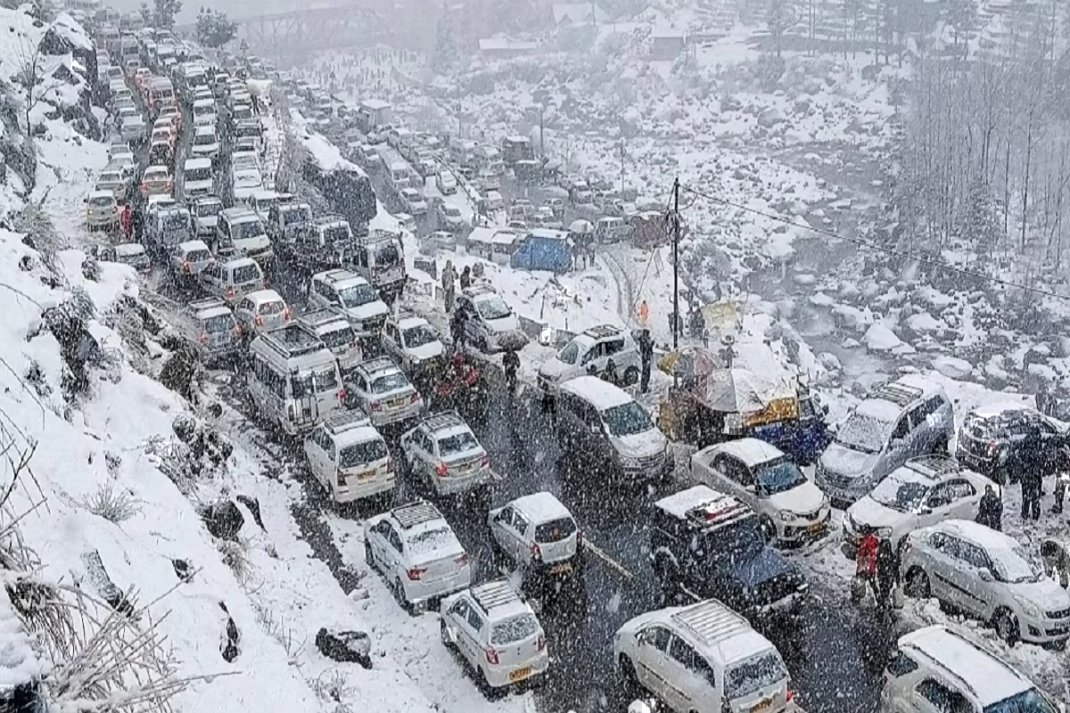
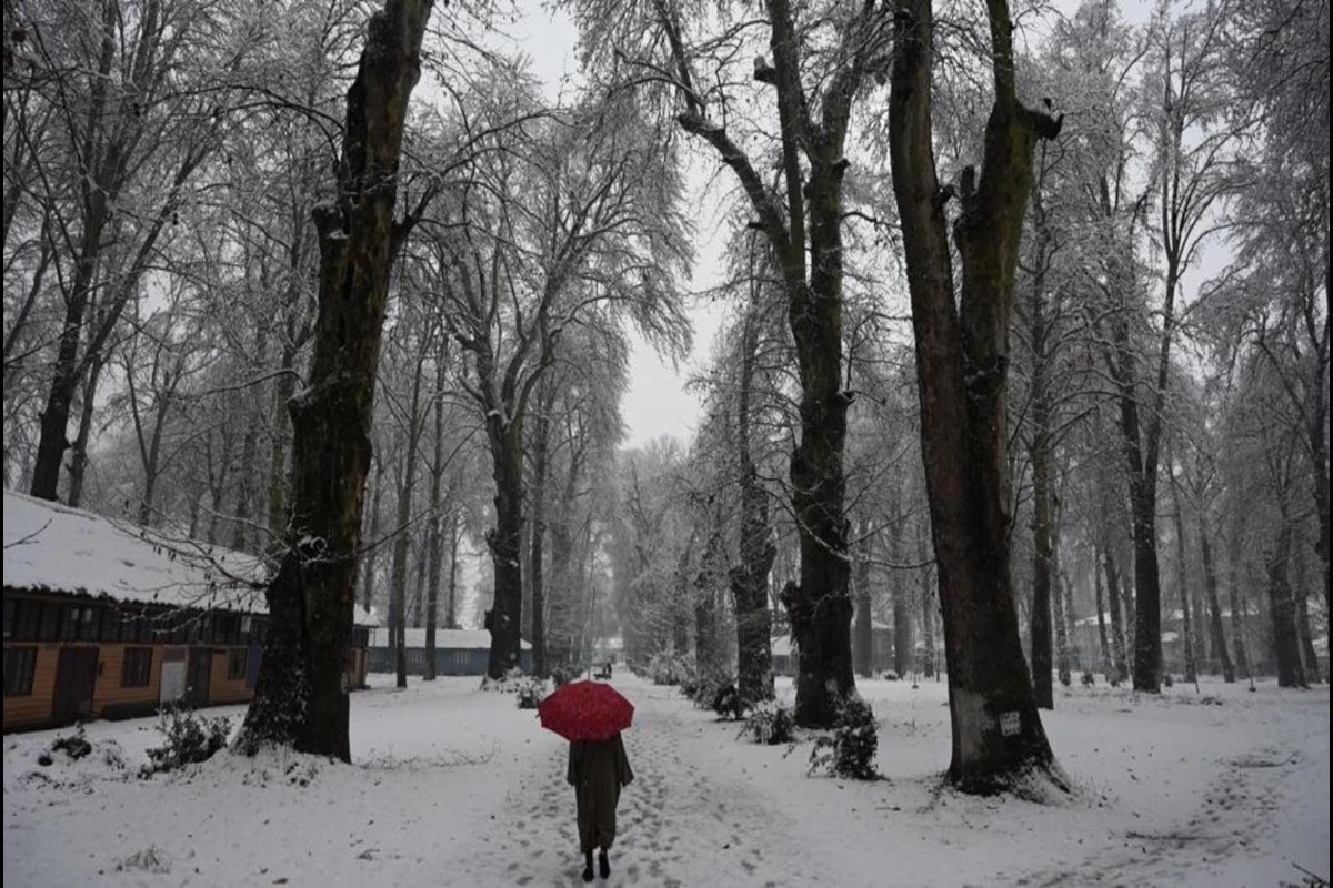
Snowfall Update: Along with Jammu and Kashmir, Ladakh, Himachal Pradesh, and Uttarakhand, the hills of northern India have had a considerable amount of rain and snow in the past few days. Parts of Srinagar, Gulmarg, Pahalgam, Manali, Kufri, Narkanda, and Chardham, among other places, have been experiencing heavy snow and rain. Several roads have been shut due to the snowfall.
Snowfall and rains continue to wreak havoc together
Snowfall was seen in certain areas of the highlands about 7000 feet. The first spell that simultaneously appeared in all states with mountains was this one. Although there is still a Western Disturbance present, rain and snow are not predicted to be as intense or widespread as they were yesterday, the peak day. Due to heavy snowfall, several universities in Jammu & Kashmir had postponed examinations.
The recent Western Disturbance that brought widespread rain and snow to North India is gradually moving from west to east and is expected to result in hailstorms primarily in the state of Uttarakhand. However, conditions are expected to improve in the other states, with only the extreme northern regions of Jammu and Kashmir and Ladakh potentially experiencing precipitation.
Next Western disturbance to arrive soon
Another weak Western Disturbance is due to arrive on February 2nd and persist until February 4th. This system is expected to be confined to higher elevations and may not have a significant impact on the lower regions.
The month of February is known for frequent Western Disturbances, but they are typically shorter in duration with breaks in between each system. Although these disturbances are usually mild, they occur more frequently during this time of year. It is crucial for individuals to stay informed about the latest weather conditions and be prepared for any potential precipitation.
Keep watching our YouTube Channel ‘DNP INDIA’. Also, please subscribe and follow us on FACEBOOK, INSTAGRAM, and TWITTER


