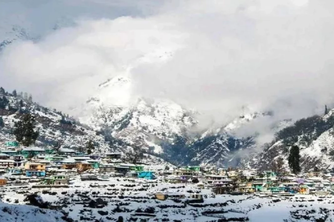
Snowfall Update: Back-to-back Throughout the Western Himalayas between January 9 and January 14, a western disturbance brought extensive rain and snow. The past 24 hours have seen moderate to severe snowfall in several locations in Gilgit-Baltistan, Muzaffarabad, Ladakh, Jammu Kashmir, and Himachal Pradesh. Read below to know about the latest snowfall update.
Western disturbance is clearing away
Additionally, the first snowfall of the year was observed at Kullu, Manali, and Shimla. Over certain areas of Punjab, Haryana, Uttar Pradesh, and isolated areas of Delhi NCR, light rain has been produced by the induced cyclonic circulation over the plains.
DON'T MISS
The Western disturbance is dissipating, and this will cause the induced cyclonic circulation that is over Northern Rajasthan to diminish as well, bringing about clear weather conditions. Over northwest India, the typical flow of northerly and northwesterly ice cold winds has resumed with the passage of the west. Temperatures have already dropped in several Gujarat and Rajasthan locations.
Intense coldwave for North Indian states
The state of Rajasthan is now experiencing a cold wave. Now that these chilly winds are spreading throughout Punjab, Haryana, Delhi, West Uttar Pradesh, Madhya Pradesh, and Maharashtra, winter will once more descend on these states.
Delhi may experience lows between 3 and 4 degrees. Beginning January 18, minimum temperatures in West Rajasthan and Gujarat will begin to climb, and beginning January 19, temperatures will rise in the remaining Northwest Indian regions. The new western disturbance, which will reach the Western Himalayas starting on January 19, will be the cause of the temperature increase.
Keep watching our YouTube Channel ‘DNP INDIA’. Also, please subscribe and follow us on FACEBOOK, INSTAGRAM, and TWITTER


