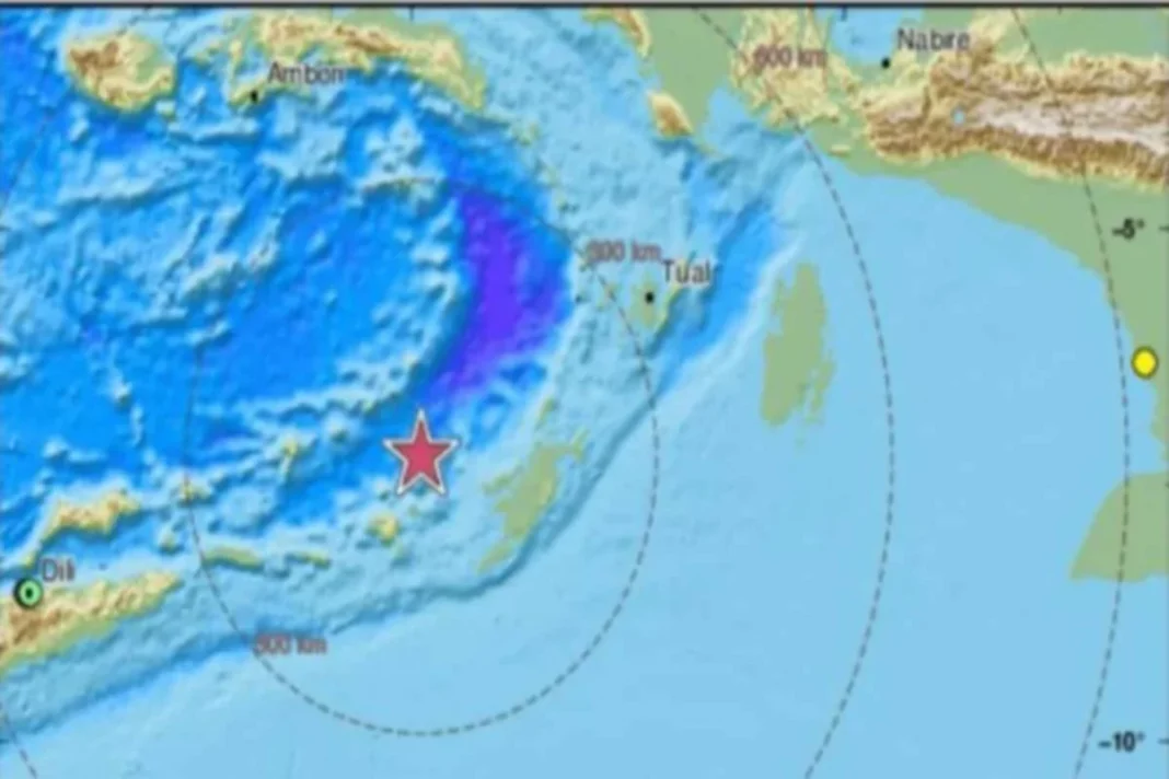
According to the European Mediterranean Seismological Center, an earthquake shocked the Tanimbar region of Indonesia on Tuesday, measuring 7.6 on the Richter scale (EMSC).
According to EMCS, the earthquake struck 95 kilometers below the surface of the earth. The Meteorology, Climatology, and Geophysics Agency of Indonesia reports that aftershocks at magnitude 5.5 were registered (BMKG).
Although there were no reports of casualties or property damage, the tremors were felt in Darwin, the capital of Australia’s Northern Territory, as well as the island of Papua, Timor, and the Maluku archipelago.
The Indonesian geophysics agency initially generated a Tsunami warning, which was later revised.
The Tanimbar islands have experienced an earthquake similar to this before. Previously, in June 2019, the island was hit by an earthquake of a magnitude of 7.3. There was, however, no Tsunami warning at the time.
Due to its geographic location in the seismic activity “Ring of Fire,” a region in the Pacific Ocean basin, Indonesia is particularly susceptible to earthquakes.
5.6 magnitude earthquake in last year
The town of Cianjur in West Java, Indonesia, was shaken by a shallow 5.6 magnitude earthquake in November of last year. Although analysts described it as a relatively quieter earthquake, more than 600 people died as a result of the destruction it inflicted.
Most of the victims were killed when buildings collapsed or when the landslides were triggered.
“If someone dies, residents in Cianjur often immediately bury them. Because of the panicked situation, those who died were immediately buried by relatives without notifying the local health agency,” said Cianjur local administration spokesman Adam who added, “It was later revealed that around 600 people died when it is officially counted.”
Keep watching our YouTube Channel ‘DNP INDIA’. Also, please subscribe and follow us on FACEBOOK, INSTAGRAM, and TWITTER.


